Otto Wolf · 1 November 2026
Climate Funding Shortfalls Reshape How UK Ports Integrate Tidal Data with Wildlife Monitoring Across Expanding Networks
Climate funding shortfalls have prompted UK ports to adjust their approaches toward combining tidal data collection with wildlife monitoring programs that now stretch across broader sensor networks, and these adjustments reflect ongoing budget constraints reported by multiple coastal authorities since 2024.
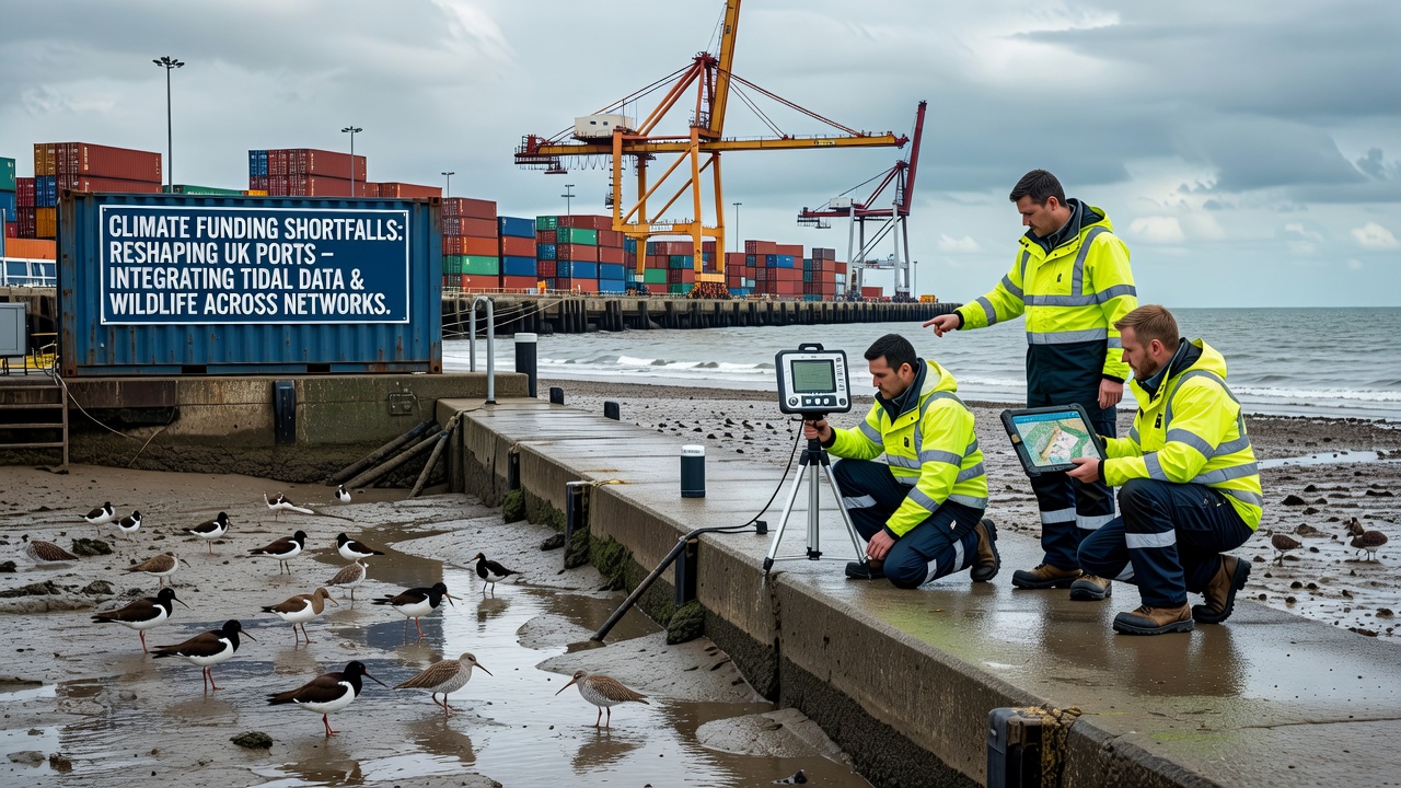
Port operators in regions such as the Humber and Solent have expanded their use of shared data platforms where tidal gauges feed real-time information into systems that also track bird populations and marine mammal movements, while reduced central government allocations force reliance on modular sensor upgrades rather than large-scale infrastructure replacements.
Shifting Priorities in Coastal Data Integration
Funding limitations mean that many facilities now prioritize dual-purpose equipment capable of recording both hydrodynamic variables and ecological indicators simultaneously, and this shift has accelerated since mid-2025 when several port authorities documented shortfalls exceeding 25 percent in their climate adaptation budgets according to Environment Agency summaries.
Networks that once operated as separate streams for tide levels and species counts now merge at central servers, allowing analysts to correlate high-water events with shifts in wading bird distributions along estuary margins, yet the pace of expansion remains tied to available grants from regional development funds.
Network Growth Patterns Observed in 2026
By November 2026 several ports had added between 12 and 18 new monitoring nodes each, linking existing tide stations to acoustic detectors for fish and cetacean activity, while data transmission occurs through low-power wide-area networks that lower operational costs compared with traditional cellular setups.
Researchers at institutions including the University of Southampton have documented how these combined datasets reveal previously under-sampled interactions between spring tide surges and foraging patterns among overwintering waterfowl, and the findings appear in reports released through academic channels during the same period.
Technical Adaptations Across Multiple Sites
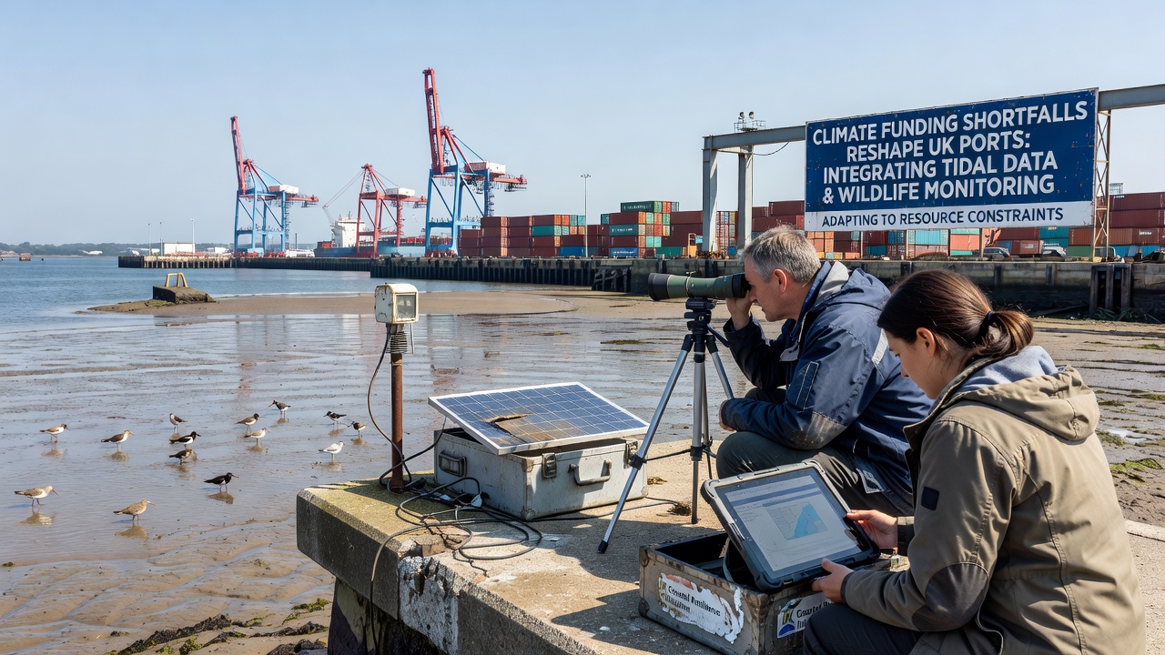
Engineers have responded to budget pressures by retrofitting older tide gauges with additional environmental sensors rather than purchasing entirely new units, and this approach allows continuous collection of salinity, turbidity, and noise levels alongside standard water-height readings. Ports in the Thames Estuary and Firth of Forth illustrate the pattern where one upgraded station now serves both navigational safety requirements and statutory wildlife reporting obligations under marine licensing conditions.
Data integration protocols have evolved to handle larger volumes from distributed nodes, with cloud-based processing pipelines that apply machine-learning filters to separate tidal signals from biological noise such as seal vocalizations or vessel passages, while maintaining audit trails required for regulatory compliance.
Comparative Approaches in Other Regions
Observers note that similar funding pressures have led Canadian port authorities along the St. Lawrence to adopt comparable merged monitoring frameworks, and reports from Fisheries and Oceans Canada describe how tidal current meters now contribute to assessments of migratory fish routes under reduced federal support levels. European ports facing parallel constraints have drawn on European Environment Agency guidelines that encourage cross-sector data sharing between navigation and conservation programs.
These international examples highlight how UK facilities continue to refine their own systems through selective adoption of open-source software tools that reduce licensing expenses while preserving data accuracy standards demanded by both maritime and ecological stakeholders.
Conclusion
Climate funding shortfalls continue to influence the configuration of monitoring networks at UK ports, where tidal information streams increasingly support wildlife surveillance objectives across growing arrays of sensors, and the resulting datasets provide measurable records of environmental conditions without requiring separate capital outlays for each discipline. As expansions proceed into late 2026 and beyond, the emphasis remains on efficient hardware reuse and interoperable data standards that sustain both operational and regulatory functions under constrained budgets.